Former city · Whole city
Nha Trang Nha Trang
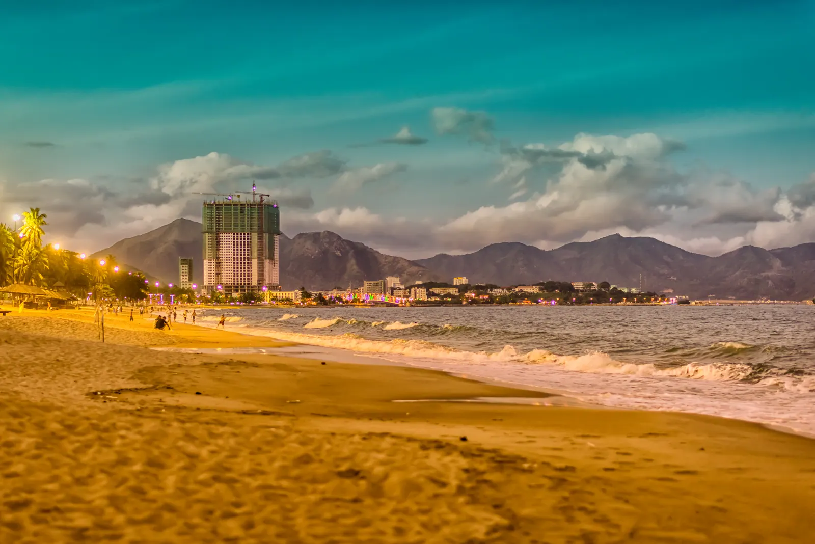
Nha Trang is a coastal city on the south central coast of Vietnam and the former capital of Khanh Hoa province, abolished by a resolution in force from 16 June 2025 and…
The reference encyclopedia of Nha Trang, Vietnam
A reference encyclopedia of Nha Trang, the largest city on the south-central coast of Vietnam. On 1 July 2025 the city was abolished as an administrative unit and replaced by four wards, and most of what is written about it in English has not caught up. One article per named thing, written in the third person, with a numbered source on every figure.
Former city · Whole city
Nha Trang is a coastal city on the south central coast of Vietnam and the former capital of Khanh Hoa province, abolished by a resolution in force from 16 June 2025 and…
Bay · Nha Trang Bay and islands
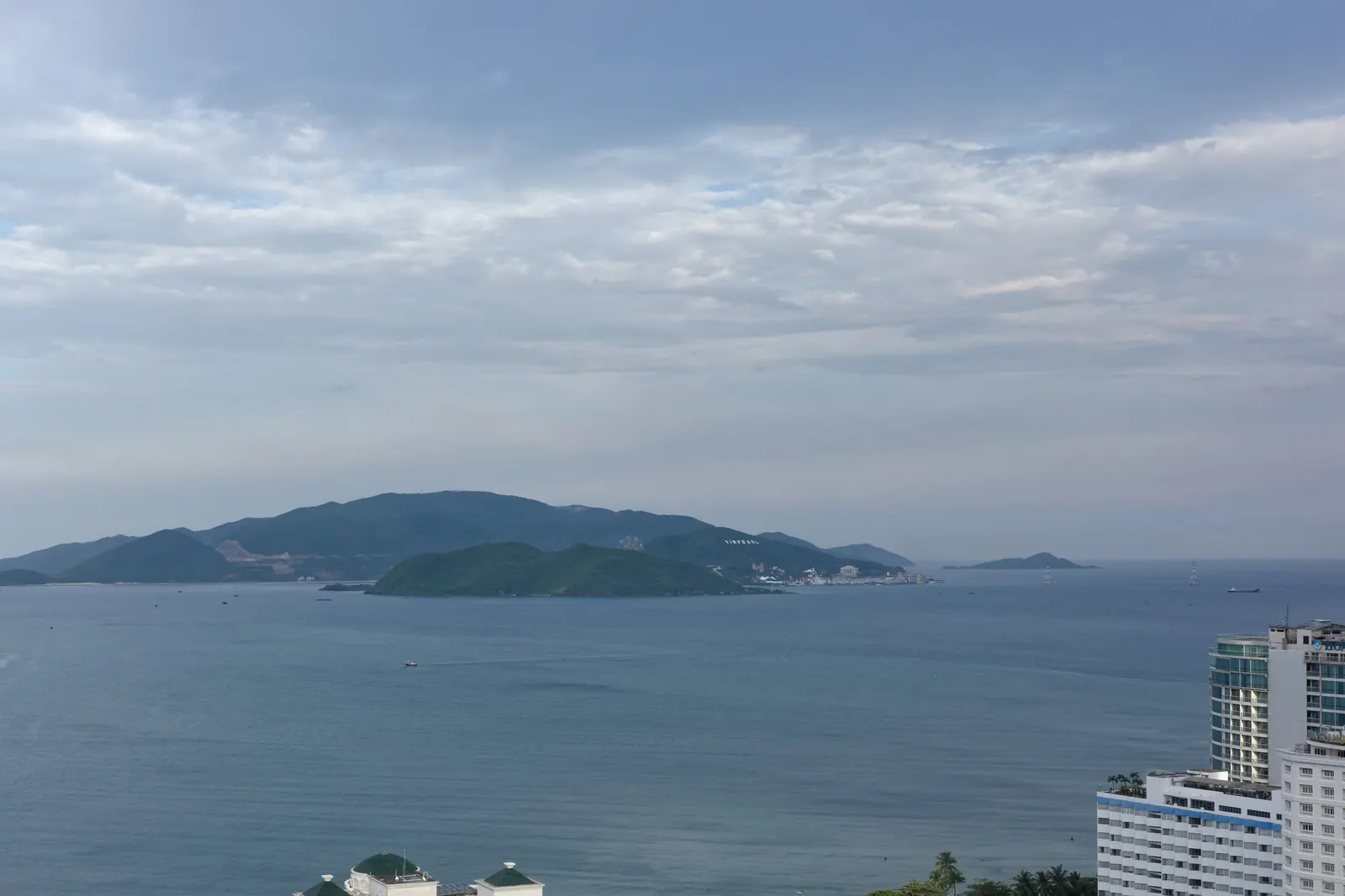
Nha Trang Bay is the bay on which the city of Nha Trang, Vietnam, stands, holding 19 islands and Vietnam's first marine protected area. It has been a member of the Most…
Temple · Bac Nha Trang (north)
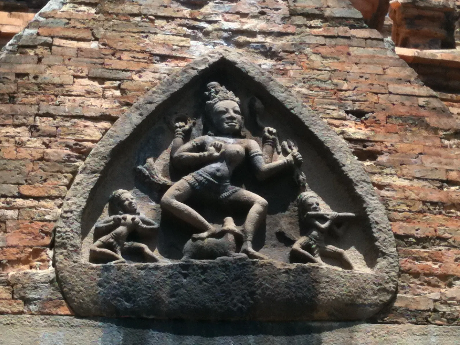
The Po Nagar Cham Towers are a Hindu temple complex of the Champa kingdom on a hill at the mouth of the Cai river in Nha Trang, Vietnam, built in brick between the…
Island · Nha Trang Bay and islands
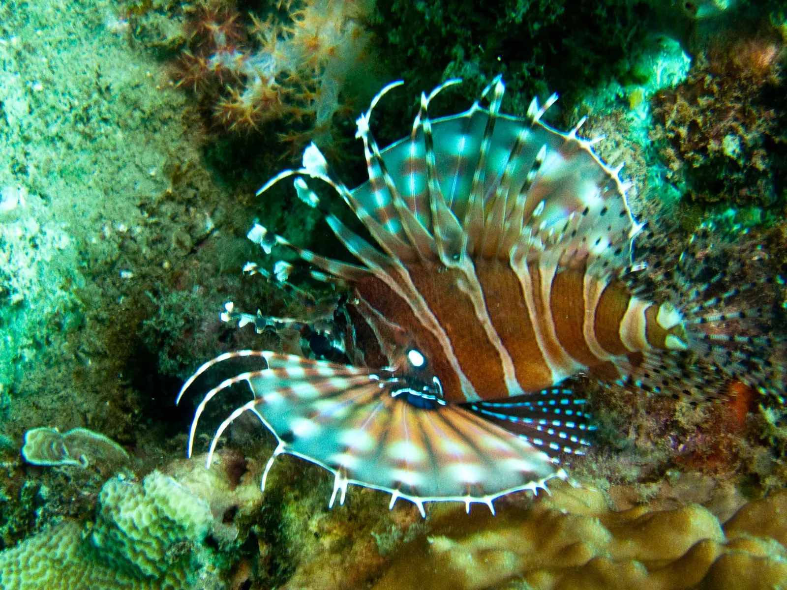
Hon Mun is an island in the south-east of Nha Trang Bay, Vietnam, 10 km from Cau Da, whose reefs form the strictly protected core of the Nha Trang Bay Marine Protected…
Institute · Nha Trang ward (centre)
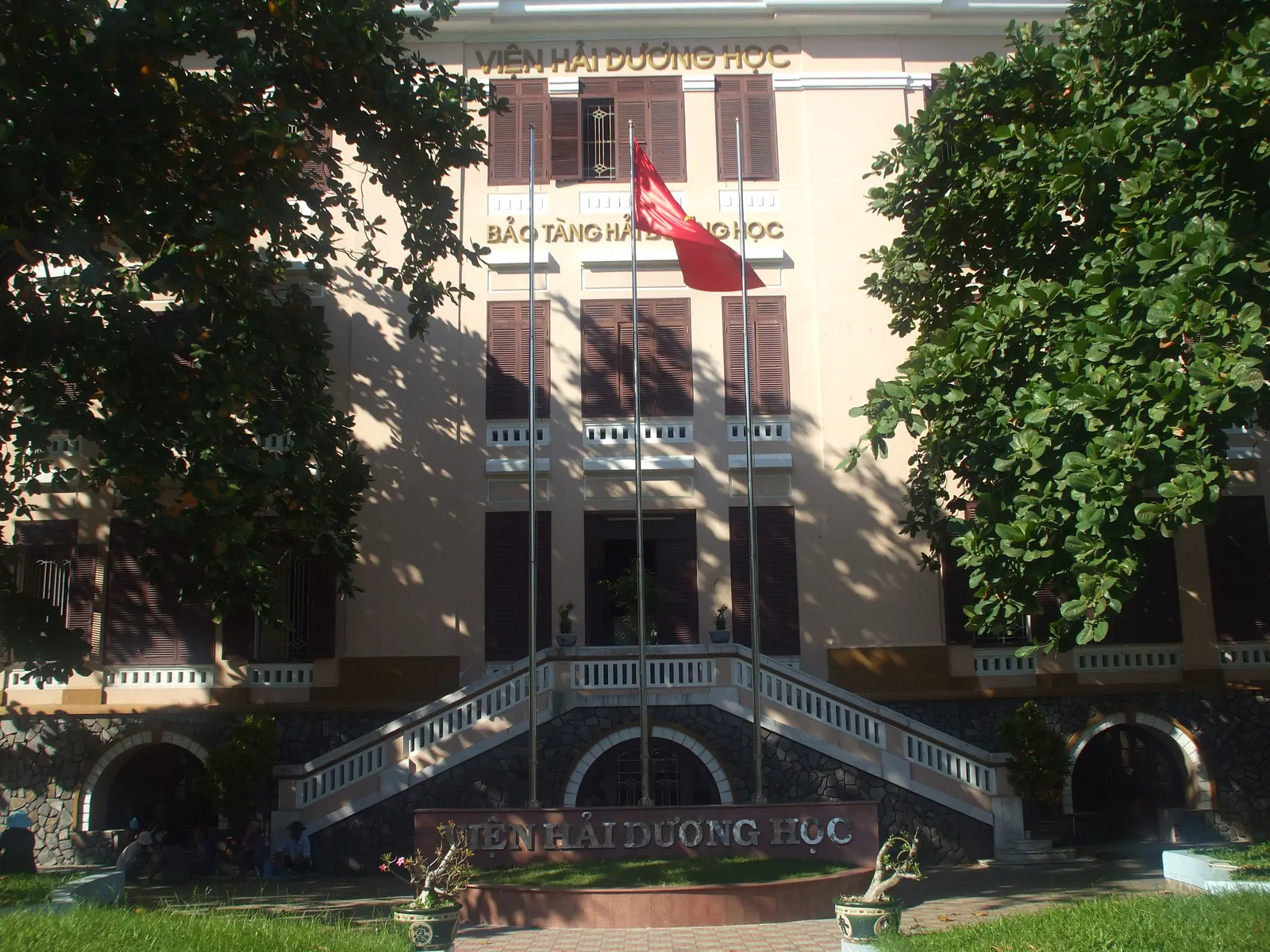
The Institute of Oceanography is a marine research institute at Cau Da, at the southern end of Nha Trang, Vietnam, founded in 1922 under the French administration and…
Pagoda · Tay Nha Trang (west)
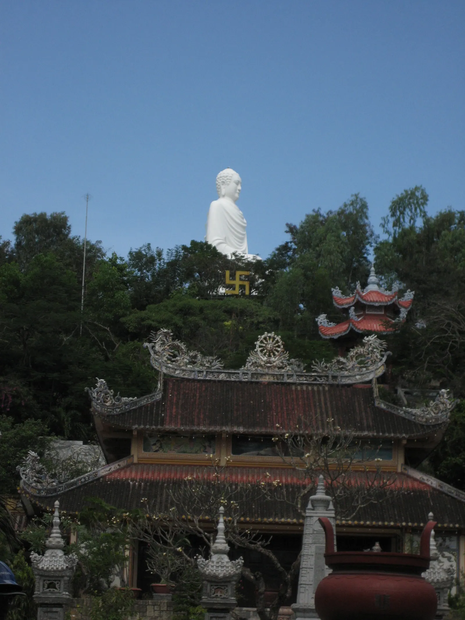
Long Son Pagoda is a Buddhist temple at the foot of Trai Thuy hill in Nha Trang, Vietnam, founded in 1886, moved to its present site after a storm in 1900, and the seat…
The four wards created on 1 July 2025, which between them cover the whole of the former city, plus the bay and its islands. The 22 wards and communes that existed before have their own articles.
Every number carries a citation to a page the editors actually read, listed at the foot of the article with the date. Where a figure could not be verified the article says so. Nothing here is travel advice: the sister guides cover visiting.
This wiki records the facts about the city. Two sister guides by the same publisher answer the visitor's questions: Nha Trang Guide for the city and Cam Ranh Guide for the airport and the Bai Dai resort strip. The province, its former districts, Ninh Thuan and Truong Sa are covered by Khanh Hoa Wiki.